Honey Badger (Wave Glider) tracking data from the Automatic Identification Sensor (AIS) collected in the North Pacific gyre in 2015 (MAGI project)
Project
| Contributors | Affiliation | Role |
|---|---|---|
| Villareal, Tracy A. | University of Texas at Austin (UT Austin) | Principal Investigator, Contact |
| Wilson, Cara | National Oceanic and Atmospheric Administration - Southwest Fisheries Science Center (NOAA SWFSC ERD) | Co-Principal Investigator |
| York, Amber D. | Woods Hole Oceanographic Institution (WHOI BCO-DMO) | BCO-DMO Data Manager |
These data from the AIS (Automatic Identification Sensor) include latitude, longitude, speed over ground, rate of turn, and heading of the AUV Honey Badger (Wave Glider model V2) during a deployment in May of 2015 in the North Pacific Ocean.
For more information on project MAGI and a description of Honey Badger, see: http://oceanview.pfeg.noaa.gov/MAGI/
Additional support was provided by the PacX Challenge from Liquid Robotics, Inc.
The AUV Honey Badger is a Wave Glider® (model SV2) from Liquid Robotics. It was deployed from the Island of Hawai'i in May of 2015 as part of Mesoscale Features Aggregate Interactions (MAGI) project . The trackline is in the North Pacific Ocean and passes the ocean time-series station ALOHA.
For more information on project MAGI and a description of Honey Badger, see: http://oceanview.pfeg.noaa.gov/MAGI/
These data are raw telemetry data obtained through the Wave Glider management system at Liquid Robotics, International.
For more information about this softare please see the Liquid Robotics Software Page:
http://www.liquid-robotics.com/platform/software/
BCO-DMO Data Manager Processing Notes:
* added a conventional header with dataset name, PI name, version date
* modified parameter names to conform with BCO-DMO naming conventions
* blank values replaced with no data value 'nd'
* values of "NaN" and "nan" changed to "nd"
* latitude and longitude were rounded to 5 decimal places from 12
| File |
|---|
ais.csv (Comma Separated Values (.csv), 7.01 KB) MD5:b488288906c3ec22cec719b547c3e346 Primary data file for dataset ID 653394 |
| Parameter | Description | Units |
| ISO_DateTime_UTC | Time (UTC) in format YYYY-mm-ddTHH:MM:SS[.xx]Z | unitless |
| lat | Latitude | decimal degrees |
| lon | Longitude; west is negative | decimal degrees |
| COG | Course over ground | degrees |
| SOG | Speed over ground | knots |
| rot | Rotational velocity (rate of turn) | degrees per minute |
| Heading | Heading | degrees |
| Dataset-specific Instrument Name | AIS |
| Generic Instrument Name | Automatic Identification Sensor |
| Generic Instrument Description | Automatic tracking system used on ships and by vessel traffic services (VTS) for identifying and locating vessels by electronically exchanging data with other nearby ships, AIS base stations, and satellites. |
HoneyBadger2015
| Website | |
| Platform | AUV Honey Badger |
| Start Date | 2015-10-31 |
| End Date | 2015-11-04 |
| Description | The AUV Honey Badger is a Wave Glider(R) (model SV2) from Liquid Robotics. It was deployed from the Island of Hawai'i in May of 2015 as part of Mesoscale Features Aggregate Interactions (MAGI) project. The trackline is in the North Pacific Ocean and passes the ocean time-series station ALOHA.
For more information on project MAGI and a description of Honey Badger, see: http://oceanview.pfeg.noaa.gov/MAGI/ |
Long Duration AUVs as tools to explore Mesoscale feature aggregate interactions (MAGI) (MAGI)
NSF award abstract:
Remote areas of the ocean are difficult to sample for short-lived or episodic features. This project will use a new sampling platform, the Wave Glider, and provide a continuous presence in the central North Pacific gyre. The six month duration of the mission will allow repeated sampling as well as spatial coverage previously unavailable. This mission will incorporate phytoplankton specific sensors as well as a set of optical sensors that will provide information on distribution, physiology and aggregation of a unique diatom-nitrogen fixing cyanobacterium symbiosis. When completed, this program will have generated the first data sets that follow these diatom blooms over extended periods in the region. Access to this instrumentation was facilitated by the PacX challenge, an international competition to produce high quality research from long-duration autonomous vehicles in the North and South Pacific Ocean. As a result of winning that competition, the principal investigator has been awarded the use of 6 months of the Honey Badger Wave Glider time in 2014. The Wave Glider is a wave-powered surface vessel capable of extended duration missions. In order to maximize this the principal investigator will outfit the glider with advanced sensors to quantify zones of intense diatom activity and aggregation along mesoscale features in the Pacific (Project MAGI: Mesoscale feature-AGregate Interactions).
Note: This project is funded by an NSF RAPID award.
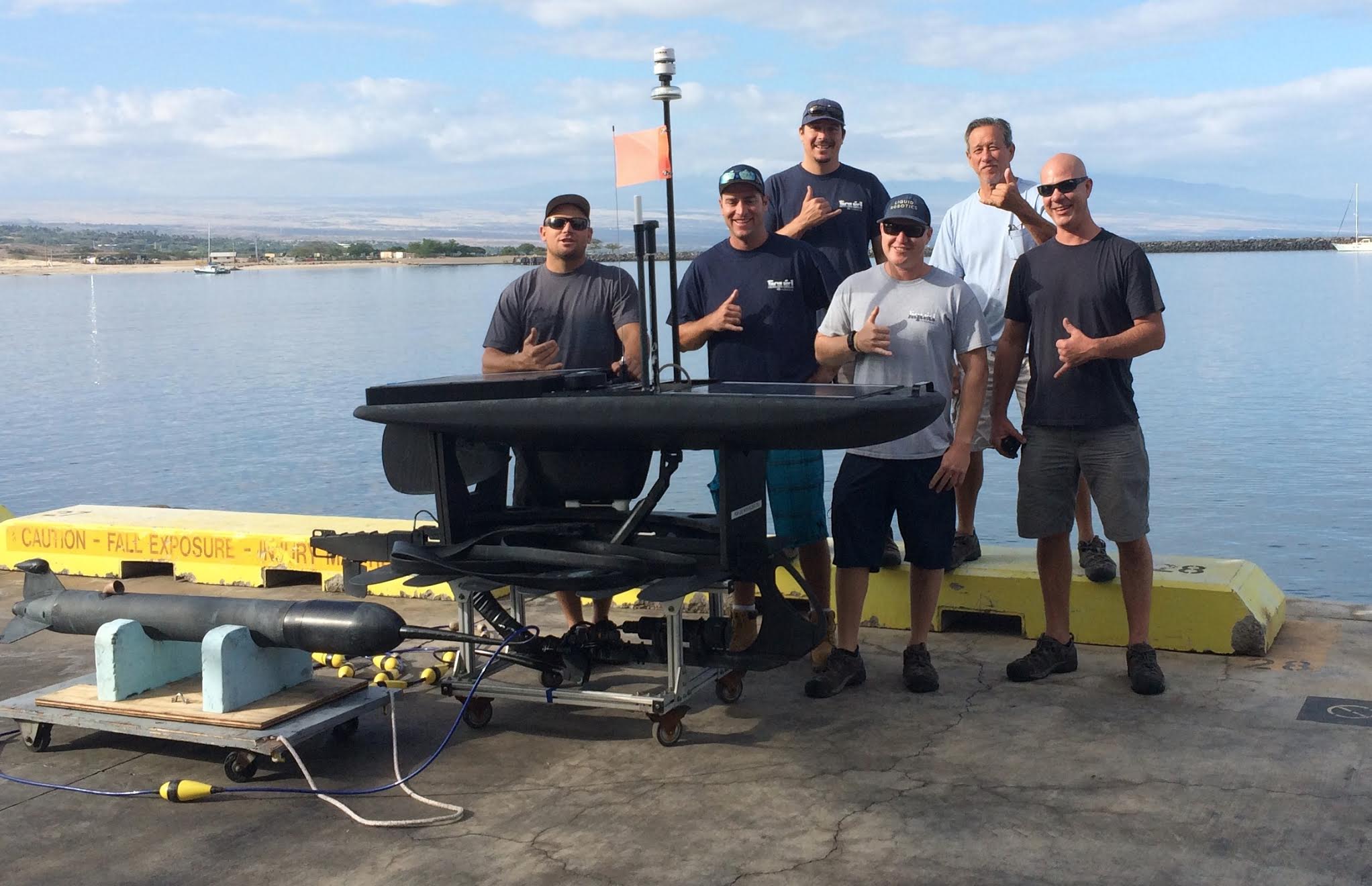
The Honey Badger Team, image courtesy of Tracy Villareal
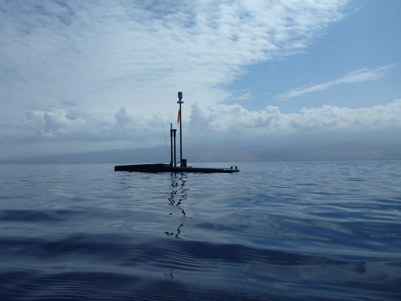
Honey Badger, image courtesy of Tracy Villareal
| Funding Source | Award |
|---|---|
| NSF Division of Ocean Sciences (NSF OCE) |
[ table of contents | back to top ]